

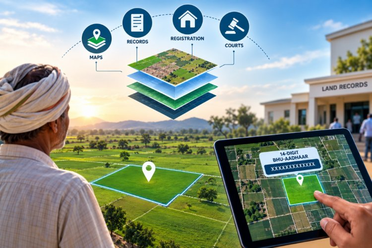
Your land records will no longer be confined merely to registration documents; instead, all related information will be integrated into a digital system. This will make it easy to identify the land’s location and access its records. Details such as when and in whose name the land was registered, as well as the presence of any loans or disputes, will be clearly visible. All this information will be linked to a unique 14-digit Land ID.
What is the government’s new scheme?
Under the ‘Digital India Land Records Modernization Programme,’ the government has launched this new initiative with an outlay of ₹565.50 crore to provide a digital identity to all land parcels, spanning from rural to urban areas. Every land parcel will now have a 14-digit ‘Universal Land Parcel Identification Number’ (ULPIN). Union Rural Development Minister Shivraj Singh Chouhan issued guidelines for this, describing it as a major step forward in land management systems. The most significant change will be the ability to interlink land-related records from different locations. This will enable farmers to easily access bank or institutional loans without having to make repeated rounds of government offices.
Issues with the old system and benefits of the new one:
Currently, to gather complete information about a land parcel, an owner or buyer has to verify numerous separate documents and records. While land details such as the Khata, Khesra, or plot number are found in revenue records, the corresponding map is often located elsewhere. Information regarding purchase and sale transactions is obtained from the registration office, whereas ascertaining whether a property is encumbered by a bank loan or involved in ongoing litigation requires consulting other sources. According to the Land Resources Department, paper-based land maps are being linked to their actual geographical identities. Once a land parcel acquires a digital identity, its digital map, record of rights, and registration details can be viewed together. However, the government has clarified that this digital identity alone will not serve as proof of land ownership. Land ownership will be determined solely in accordance with the valid land records of the respective state and the laws applicable there.
Freedom from boundary disputes and ease of verification:
This new system will make it very easy to identify the actual location and boundaries of a plot listed in the documents. A prospective land buyer will be able to cross-reference the details in the documents with the digital map. This will help prevent issues such as the misrepresentation of land or boundary disputes. Verifying the land’s transaction history and other essential information prior to purchase will become extremely convenient. Similarly, preparations are underway to integrate land-related revenue and court cases into this digital system, which will significantly aid in making revenue courts paperless. Old registration records can be scanned and securely stored in digital format, thereby reducing the risk of losing or damaging old land documents.