
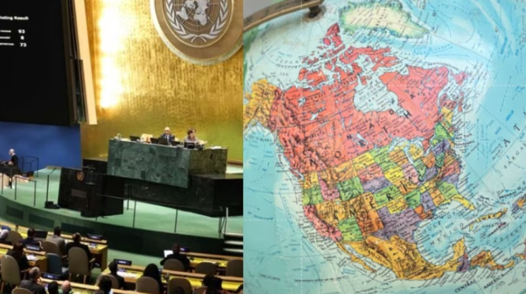
The way we see and understand the world is about to change. The United Nations General Assembly has voted to adopt a new world map. In this map, Africa will appear larger than before. North America and Europe will appear smaller. The new map is called the Equal Earth Cartographic Projection. The General Assembly approved the ‘map revision’ resolution by a vote of 164-1. The proposal aims to promote maps that more accurately reflect the area of different parts of the world. Although the proposal is not necessary for all countries, it could be the beginning of a change in the maps used around the world.
According to the United Nations, its aim is to more accurately show the landmasses of the world’s continents. While 164 countries, including India, voted in favor of the resolution, the United States voted against it alone. Six countries abstained. Now the question is why is the old map of the world being changed? The Mercator projection, which is still widely used in the world, was designed by Flemish cartographer Gerardus Mercator in 1569. It was designed primarily for seafaring. The biggest problem with this map is that the areas near the meridian of the Earth appear much larger than their actual size. The area around the equator appears relatively small. The new Equal Earth projection aims to reduce this and show the size of the continents more accurately.
What did India say? India has openly supported it. Indian diplomat Raghu Puri said that India sees this proposal as an incentive to use maps that accurately reflect the actual area of the land. India’s support should not be interpreted as an endorsement of the Equal Earth projection or any other specific map. He said, “In some old maps, the size of countries and continents appears much larger or smaller than their original location. A map with equal area can reduce this discrepancy. India wants countries, institutions and mapmakers to be free to choose maps according to their needs, rather than imposing a specific method. Maps should reflect the size of different parts of the world more accurately.”
Supported by 164 countries, opposed by the US – 164 countries voted in favour of the resolution at the UN General Assembly, while the US voted against it. 6 countries abstained. The resolution was brought by Togo and was supported by member states of the African Union. A large number of countries, including France and Britain, voted in favour. The decision is not legally binding for all countries. However, it could pave the way for changes to the maps used by various institutions and organisations around the world.
What is the Equal Earth Projection? The Equal Earth Projection is a map that aims to show the areas of different parts of the world in their true proportions. That is, it attempts to make Africa, Asia, Europe and other continents appear closer to their actual areas on the map. However, India has made it clear that it does not accept the same earth projection as the only correct option. India’s support is for the broader idea that where it is necessary to show the true size of the land, the use of maps that more accurately reflect the area should be increased.