
Pakistan has been rapidly expanding its space-based surveillance capabilities in recent times with the help of China. On the other hand, India is also strengthening its satellite-based surveillance and observation system. As a result, the importance of space-based surveillance capabilities in South Asia has increased further.
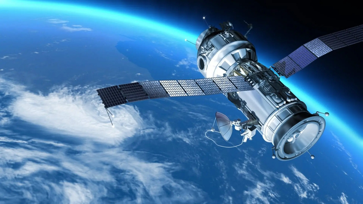
According to the report, Pakistan has launched six new Earth observation and observation satellites into space between January 2025 and April 2026. These satellites were launched with the help of China and are said to use modern technologies such as optical imaging, hyperspectral imaging and remote sensing. Through this, it is possible to collect data about changes in the terrain, infrastructure and land level.
Keeping an eye on India’s northern border
The main focus of Pakistan’s new satellite surveillance system is on India’s northern region, especially Jammu and Kashmir and the border areas, as revealed by the report. Such satellite systems are important for monitoring military deployments, infrastructure construction and other ground-based activities. The biggest advantage of satellite imaging is that data can be collected remotely without physically sending aircraft or personnel to any sensitive area. This can be useful for border surveillance and strategic planning.
India’s ‘Third Eye’ in Space
Amidst this progress by Pakistan, India is also moving forward towards increasing its space-based observation capabilities. The Indian Space Research Organisation (ISRO) has claimed to have successfully launched EOS-05 on September 4, 2026. This satellite is said to have been placed in a geostationary orbit at an altitude of about 36,000 km. The specialty of geostationary orbit is that the satellite orbits in sync with the rotation of the Earth. As a result, it appears to be almost stationary over a particular area when viewed from Earth.
Why is the 36,000 km orbit important?
Most Earth observation satellites orbit the Earth at relatively low altitudes. So, after passing over a particular area once, they have to wait until the next orbit to observe that area again. But a satellite in geostationary orbit can continuously observe a large area as it moves in sync with the Earth’s rotation. This is especially useful for monitoring rapidly changing conditions.
Frequent imaging a major advantage
A major feature of EOS-05 is its frequent imaging capability. According to available data, it can take images of different parts of the country at intervals of about 30 minutes. It is claimed that data can be collected at intervals of about 5 minutes when observing a specific target more closely.
Such continuous observation is not limited to defense or border surveillance. It also has wide applications in civilian fields such as agriculture, weather, environmental monitoring and disaster management.
‘Third Eye’ in Disasters
Continuous satellite observation can prove invaluable during natural disasters. In the event of floods, cyclones, landslides or forest fires, regular satellite images can help officials assess how quickly the situation is changing. This information makes it easier to plan rescue and relief operations, evacuate people to safer places, assess damage to roads and other infrastructure, and take emergency measures.
In short, space is no longer just a field of scientific research. The role of satellite data in national security, border surveillance, infrastructure planning and disaster management is increasing day by day. While Pakistan is increasing its space capabilities with the help of China, India is also moving forward to use space as an important ‘third eye’ by further strengthening its satellite network.